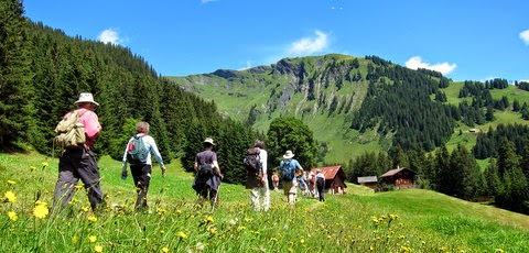
Use this sketch (thanks to Rick Steves) to figure out where Nancy and I will be exploring and walking in the Berner Oberland between Aug 1 through Aug 5. We'll be based In Wengen, right there in the middle and will be taking every cogwheel, train, bus and funicular we can find. Click on the map to enlarge.
After that we're in Bettmeralp in the Valais until Aug. 12

2 comments:
That map looks strangely similar to JRR Tolkein's drawings. And one does not just simply walk into the Berner Oberland (a bit obscure?). =)
Either way, sounds like a lot of walking/hiking!
I think Tolkein's are a bit more imaginative and a few more curlicues. But I'm sure both are very useful. Obscure???? what do you mean? Well, we are flying first.
Post a Comment